Author: joemartuccillc

  • Dry and mild for NJ now, rain returns for NYE, though

    Dry and mild for NJ now, rain returns for NYE, though

    I‘m at News 12 today, doing it live across NJ.

    NEW: The heavy rain is off the shore. There is a winter storm signal around Jan. 8. However, we’re just in the interest phase now. We’ll need until about this Thursday to determine whether or not this storm is on, and then the details with it.

    NOW: A few rain showers will be around until 7 a.m. or so. Winds will flip from the south to the west early this morning and you’ll feel drier air coming in by midday. Winds will be a little breezy, at 20-25 mph for gusts. Morning temperatures will start around 50-55 degrees. Daytime highs will only rise to 55-60 degrees.

    There is an outside chance that Atlantic City Marina, Trenton and Belvidere will break the warmest minimum temperature for Monday. It would have to stay at or above 49 degrees for Atlantic City and Trenton. Belvidere would need to stay above 47 degrees.

    NEXT: New Years’ Eve will be similar to Sunday. Dry, mild and some sunshine during the day. Then, rain comes at night. Showers will begin between 6-8 p.m. The steadier showers will leave around midnight. However, mist and light showers will be present until the sun rises. Highs will be as high as 60F in inland South Jersey to 50F in Northwest New Jersey.

    Then, we begin a long slide down the thermometer. Gusty, cold winds out of the northwest will be around Thursday and Friday. Highs will be 37-42F for Thursday and then 35-40F for Friday. Lows will be in the 20s both mornings, though the shore will be near 32F on Thursday morning.

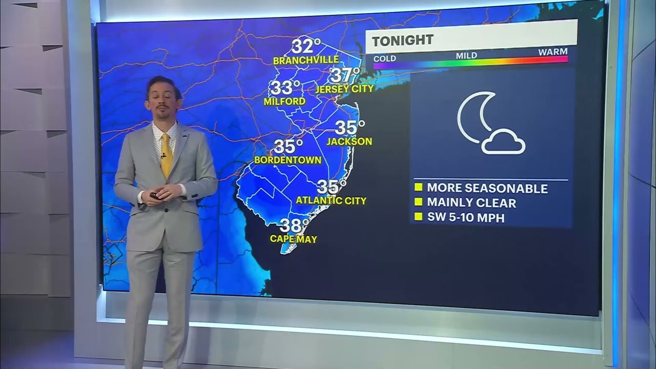
    The weekend will be cold. Highs will be around 32 degrees. However, the wind will decrease.

    It looks like the below average temperatures will be around until about the 15th of the month. In regard to snow, we’ll watch Jan. 8.

  • Coldest in 2 years! Sunday Night, 12/22/2024 NJ Weather Forecast (News 12 NJ)

    Coldest in 2 years! Sunday Night, 12/22/2024 NJ Weather Forecast (News 12 NJ)

    ❄️ Holy Frostbite, NJ! We just shivered through the coldest day since Dec. 24 2022 Sunday, and guess what? Monday morning is more like Maine! Don’t miss this – see how deep icy blast will be with News 12 New Jersey 👇 www.linktree.com/joemartwx

  • COLD and (some) SNOW | 12/22/2024 News 12 NJ Evening Forecast

    COLD and (some) SNOW | 12/22/2024 News 12 NJ Evening Forecast

    Good evening Jersey! I’m at News 12, talking about big time cold and small time snow in the forecast. Overnight lows will be 20 degrees below average. It’ll be a slow climb back to average for the holiday week. A few hours of light snow will come on Tuesday. Let’s time it out. Follow me: www.linktree.com/joemartwx

  • How likely is a White Christmas in New Jersey?

    How likely is a White Christmas in New Jersey?

    Even if you wish you lived in South Florida, far away from any winter weather, chances are the thought of snow on Christmas puts at least a small grin on your face.

    A white Christmas and first night of Hanukkah (both are Dec. 25 this year) is hard to come by at the South Jersey Shore. That will be true this year as well, with generally mild weather expected around the holiday.

    Even though Dec. 25 falls in the winter season, which starts on Dec. 21, the shortest day of the year, Christmas snow isn’t very common here. While the ocean keeps cooling down, storms bring warm air when they travel up the coast. This warm air makes it harder for snow to fall because it raises the temperature, making it rare for snow to fall on any day in December.

    The technical definition of a white Christmas is an inch or more of snow on the ground on the day itself, according to the National Oceanic and Atmospheric Administration. So even if you were to measure a half inch of snow on Christmas Day, it wouldn’t qualify as a white Christmas.

    If that definition sounds like a lump of coal in your stocking, meeting a cheerier definition that includes any measurable snow on Christmas Day is just as unlikely. There’s a 6% chance for both an inch or more of snow on the ground, or any measurable snow on Christmas Day at Atlantic City International Airport in Egg Harbor Township, according to NOAA.

    Snowfall records at the Sen. Frank S. Farley State Marina in Atlantic City haven’t been taken since 1956. Back then, there was only a 7% chance of having at least 1 inch of snow on the ground, and a 3% chance of any snow at all. Even though the climate was cooler, a Dec. 25 snow was just as unlikely. Nowadays, right by the ocean, there’s actually a bit less chance of snow on holidays than in places farther away from the shore.

    Our last official white Christmas at the South Jersey Shore was in 2009. Do you remember that one? I was a freshman at Rutgers University then. I still remember waking up at my parents’ house in Central Jersey, and seeing how bright Christmas morning was with the sun reflecting off the snow.

    Read the rest on Shore Local here.

  • The Polar Vortex and NJ: What you need to know

    The Polar Vortex and NJ: What you need to know


    The polar vortex

    It’s been meteorology’s biggest buzz word in our everyday weather conversations since it gained fame in 2014. However, it’s often misused and misunderstood. As with most things in life, it’s more complicated than it seems.

    Yes, the polar vortex is generally responsible for deep cold and even snowstorms during the winter. However, there are two parts to the polar vortex and typically, when it’s colder than average for a while, like it was last week, the polar vortex already left New Jersey.

    Click here to read more from Shore Local