WEDNESDAY’S FORECAST | The sunshine and comfortably mild temperatures continue for another day! Turns out, these cool mornings are making history as well for us at the shore. Enjoy the sunshine! Rounds of rain return Thursday night.
Follow my work: www.cupajoe.live Jolt your brand, advertise with me: joe@cupajoe.live
Labor Day is over and now it’s time for Locals’ Summer! Happy back to school day, too. It’ll feel like school weather. It’s another cool morning leading to a warm day! A series of cold front will pass with a few rounds of showers. Let’s see how wet it’ll be. www.cupajoe.live
Meteorologist Joe Martucci and NJ State Climatologist Dr. Dave Robinson shared the same August recap and wardrobe choice of a blue polo shirt. Turning to the weather, the two detail Hurricane Erin’s coastal devastation with record-high summer tides and erosion.
They noted cooler-than-average temperatures, a chilly month start and end, and severe drought conditions, with North Jersey under a drought for the first time in months. The Rutgers 2024 Climate Report highlights ongoing drought and future weather risks.
Recap the month of weather that was. It’s all Jersey, with two of Jersey’s best weather guys. New Jersey State Climatologist Dr. Dave Robinson as well as Meteorologist Joe Martucci, owner of Cup A Joe Weather and Drone take you through the temperatures, rain, snow, coastal flooding and much more every episode. New episodes come out around the beginning of every month.
If you’re a summer resident or visitor to the Jersey Shore, it’s possible you’ve never experienced tidal flooding like this in your lifetime.
Margate was the most significant location for flooding on the entire shore. A transformer fire, electrical fire, six vehicle rescues, evacuations out of Sofia’s and Tomatoes, and a gas leak occurred, according to the Margate Fire Department. Water rescues occurred on the Black and White Horse pikes between Atlantic City and the Mainland.
Looking at tide gauges for June, July and August, Hurricane Erin brought the highest storm surge on record to the following locations:
Absecon, Atlantic City (Inside Thorofare), Sea Isle City, Avalon, Stone Harbor, Cape May (bayside) according to the National Oceanic and Atmospheric Administration.
If you weren’t in these locations, then it was the highest summertime flooding since Tropical Storm Irene impacted north up the Jersey Shore in August 2011.
The National Weather Service classifies flooding into three categories: minor, moderate and major. This was at the very high end of moderate.
Moderate flood stage is when traveling around our coast is downright difficult. I was in Sea Bright, Monmouth County on Thursday night, reporting on the storm. Route 36, the main road in town, was washed out going south, causing us to exit the island north, near Sandy Hook instead. It was also bringing water into unraised homes and businesses.
While moderate floods happen during the year, it’s almost always during nor’easter season, October to April, when fewer of us are at the shore. If you are here, it’s likely you’re not going out as much.
Still, even this tide was unusually high, ranked among the top 10 highest tides of any month on record in Atlantic, Cape May and Cumberland counties.
THURSDAY’S FORECAST | Cool. Comfy. Those are the two ways to describe the weather this week so far, and most of the next 7-days, too. One round of rain is in the forecast for Labor Day Weekend and it’s not even much. Let’s talk!
Follow my work: www.cupajoe.live Jolt your brand, advertise with me: joe@cupajoe.live
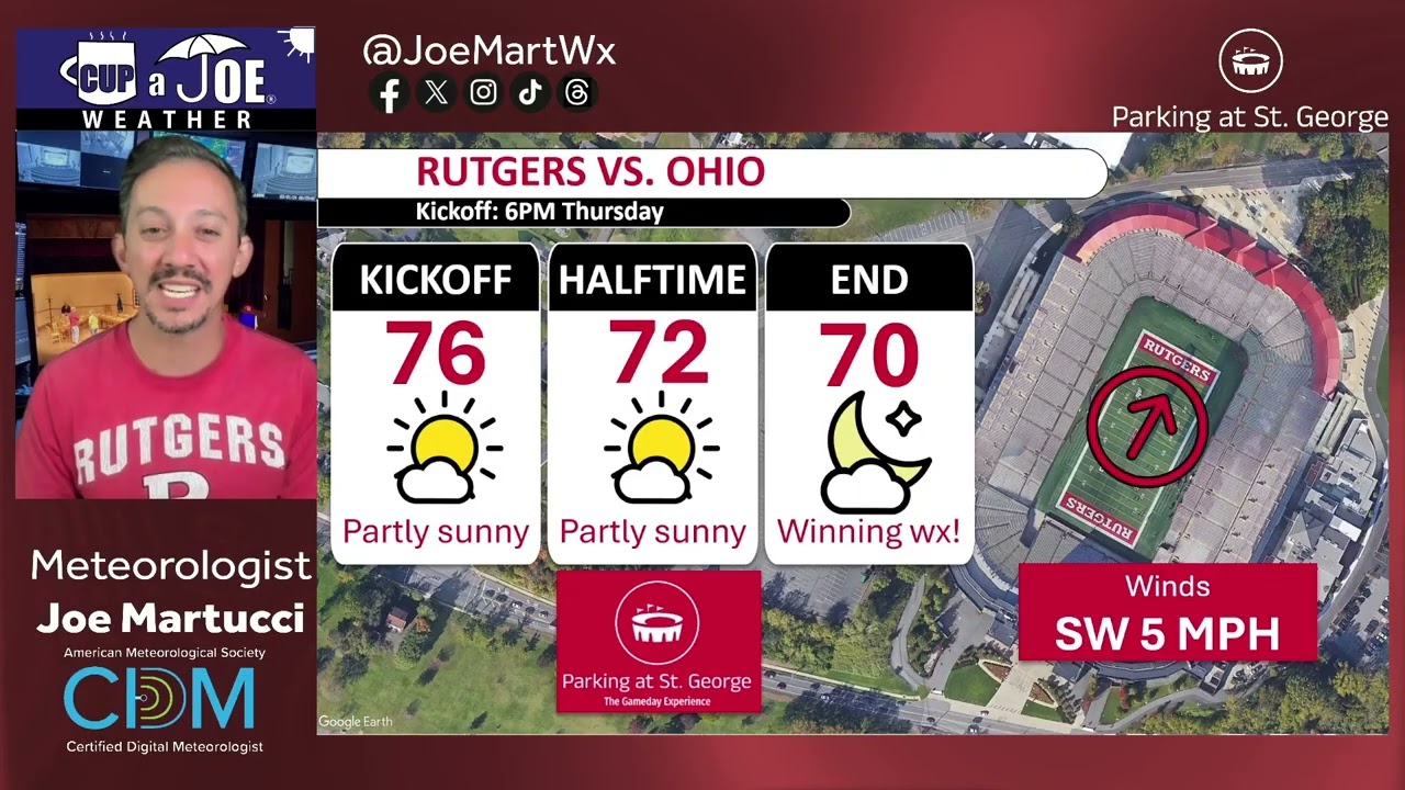
Rutgers football is back and it feels so good, especially when it’s Thursday, R night! Planet Earth will give us winning weather. Stay until the end to see what historical weather tells us about dry week 1 home games with these temperatures, too. You’re going to love our new weather scenario generator.
Located just 1/3rd of a mile from SHI Stadium, the St. George Greek Orthodox Church is THE place to park and tailgate for Rutgers football games! Lots of space, clean bathroom and excellent service. Reserve your space at www.rutgersparking.com.
WEDNESDAY’S FORECAST | Just in time for Pumpkin Spiced Lattes to come out, our *driest* air of summer comes today, feeling more like Autumn than the waning days of August. Watch and tune in!
Dominate your fantasy leagues and bets with weather-driven data. MeteoOdds gives you innovative tools, player/game weather impacts, and detailed forecasts. Join FF+ by using the code WEATHER and get 50% off, for life! Turn forecasts into fantasy wins — only at www.meteoodds.com.
Done with summer? Craving fall beers and pumpkin spice? You’ll love this 7-day forecast then. However, with that strong summer sun still around, it’ll be nice enough for the water, too.
Follow my work: www.cupajoe.live Jolt your brand, advertise with me: joe@cupajoe.live
📹SATURDAY’S FORECAST | My oh my, what a beautiful weekend! Sunshine, comfortable temps and good times. Highs will be 75-80F. ***However*** you need to avoid swimming in the ocean today, again and one more round of coastal flooding is on the way.
Captain’s Tree Service handles all your tree needs, including tree removals, trimming, pruning, and 24/7 emergency care. They’re reliable, affordable, and trusted by families. Call the Captain today for a free estimate at (856) 883-7682!
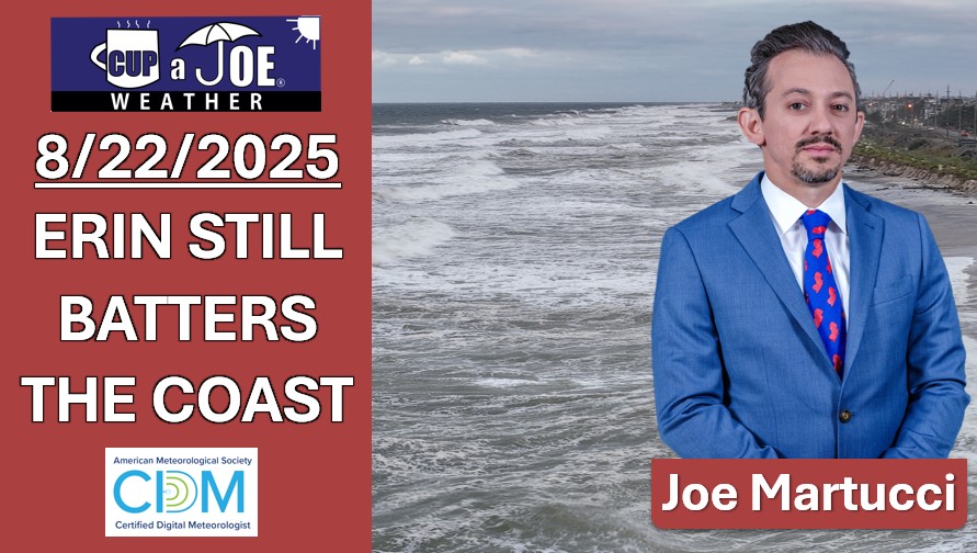
FRIDAY’S FORECAST | Don’t let the sunshine fool you. Erin continues to bring dangerous waves and coastal flooding today up and down the coast. Inland will be the place to be! How about the weekend? Let’s talk.